Working Lands

Dicamba Damage Photo Gallery

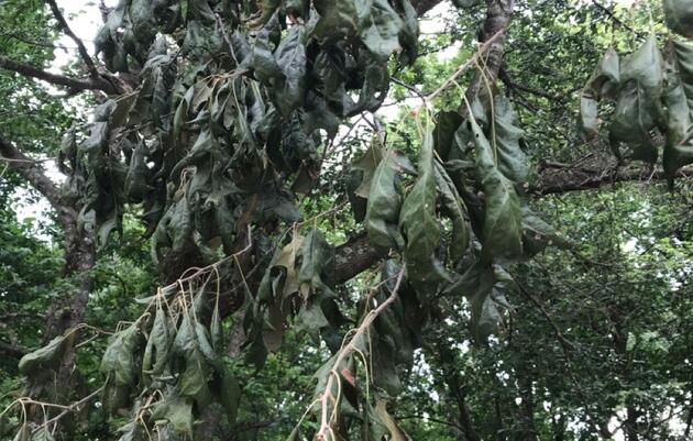
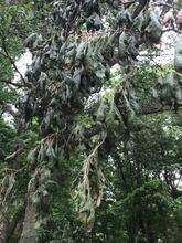
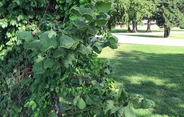
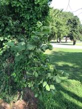
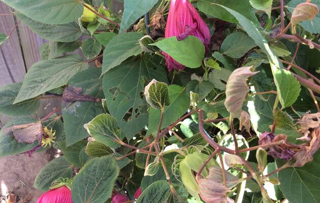
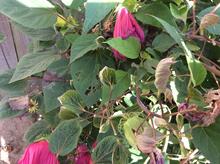
Audubon staff and trained volunteers have photo-documented dicamba damage on vegetation across 20 counties in 2019 and 2020. Symptoms were documented on dozens of plants species on a variety of public lands including 4 university research farms, 37 cemeteries, 22 churchyards, 8 Arkansas Game & Fish Commission properties, 6 state natural areas, 4 city parks, 2 national wildlife refuges, 2 state parks, the Helena Welcome Center, Brinkley Convention Center, Blytheville Public Library, Mack’s Prairie Wings, Stuttgart Airport, Arkansas Northeast College, and many county and state roads. View the galleries below for examples.
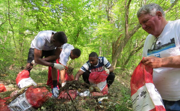
Photo Galleries

Cemeteries & Churches
Slideshow
Working Lands

Cemeteries & Churches

Small and surrounded by row crops, these sites are subjected to repeated dicamba exposure. Who pays for damages? Who is protecting them from chemical trespass?

Public Lands
Slideshow
Working Lands

Public Lands

Federal, state, and municipal lands set aside for wildlife and recreation are being damaged by dicamba.

University Research Stations
Slideshow
Working Lands

University Research Stations

The 1-mile buffer that allegedly protects research stations is insufficient because volatile dicamba can travel for miles. Both crops and landscaping plants are injured by dicamba every year.

Towns & Yards
Slideshow
Working Lands

Towns & Yards

Rural homeowners lose their gardens to dicamba. Even being in the middle of town does not protect against dicamba's volatility.

Get Involved