
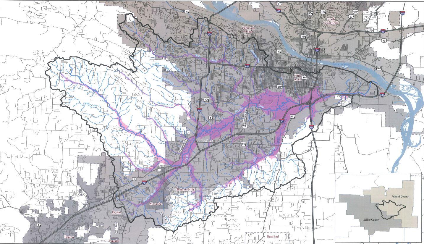
The 108,800-acre Fourche (pronounced "fush") Creek Watershed includes six third-order streams and nine primary tributaries. Fourche Creek itself starts in Saline County, flows through Little Rock, and empties into the Arkansas River just past the airport. About 73% of the surface area of Little Rock drains into Fourche Creek and its tributaries. During a typical storm Fourche Creek's wetlands can store up to one billion gallons of water. The creek, watershed, and wetland areas provide water purification, efficient storage of floodwaters, urban noise reduction, air and water pollution control, and wildlife habitat within the city. Fourche Creek is home to over 70 species of fish (30% of all Arkansas fish species), stands of three hundred year old bald cypress, and a diverse population of migratory birds.
Do you live inside the watershed? Explore this map to find out.
.
Downloadable Resources
Become a Friend of Fourche Creek
Want to help? Signing up is the best way to keep up with volunteer opportunities, events and progress updates.
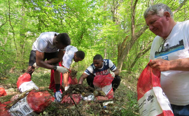
Get Involved
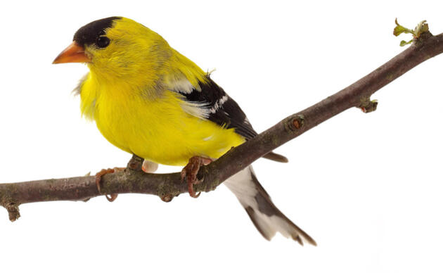
Be a voice for birds
Join our Advocacy Team to receive action alerts about legislation and policy when Audubon Delta's birds need your voice.
Join Our Flock
Signing up is the best way to keep up with Audubon's latest news, programs and initiatives.
