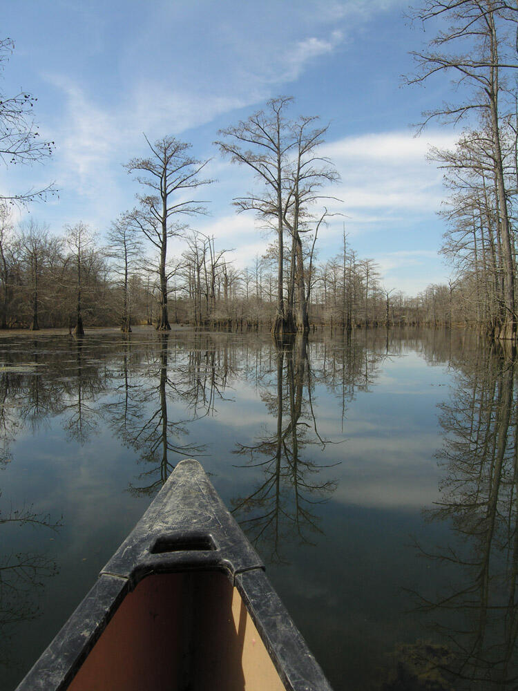
Floating Fourche Creek
Fourche Creek Urban Water Trail is an amazing recreational resource located right in the heart of Little Rock. A float down the 20+ miles of creek takes you across 3 of Arkansas’ 6 major ecoregions, giving you a rare chance to explore multiple habitat types. Over a day-long float the scenery changes from a gravel bottom stream lined with river birch, box elder, and sycamore to a highly sinuous silt-bottomed creek lined with enormous cypress and silver maples. The creek is included in Tim Ernst's "Arkansas Nature Lover's Guidebook" and with put-ins at several city parks across town, most citizens of the state’s capital are within a ten minute drive of the creek!
Details are available in the PDF below for those interested in floating Fourche Creek.
Check water levels at University Ave., Rock Creek at 36th, and downstream of Fourche Bottoms at Lindsey St. Recommended levels for floating into Fourche Bottoms are 2.5 feet to about 6.5 feet at the University Ave. gage, with 3 feet to 6.5 feet being best.
Curious what its like to float Fourche Creek? Try this leisurely kayak-eyed view from a powerline crossing in Fourche Bottoms downstream to the launch at Interstate Park. Video courtesy of Reed Green.
Floating Fourche Creek
Donate to Audubon Delta's Work
Help secure the future for birds at risk from climate change, habitat loss and other threats. Your support will power our science, education, advocacy and on-the-ground conservation efforts.

How you can help, right now
Be a voice for birds
Join our Advocacy Team to receive action alerts about legislation and policy when Audubon Delta's birds need your voice.

Join Our Flock
Signing up is the best way to keep up with Audubon's latest news, programs and initiatives.